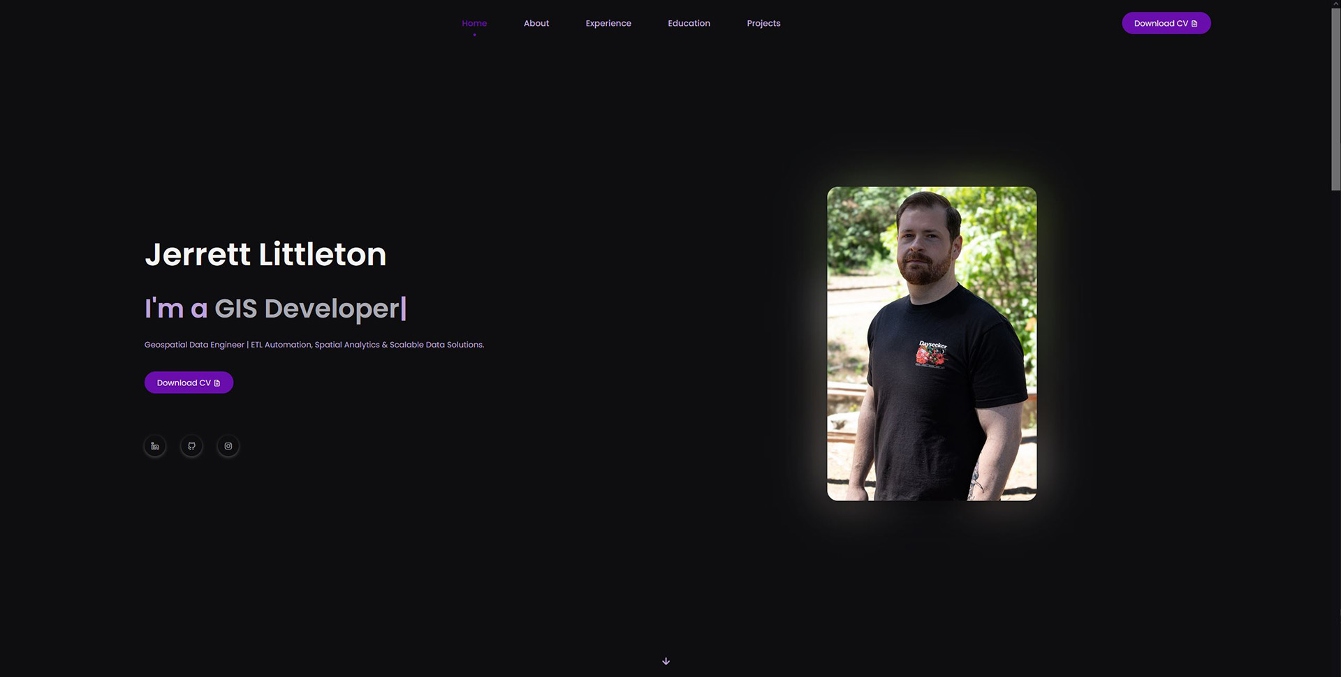
Jerrett Littleton

Senior Geospatial Technologist/IT Manager

About Me

I am a Geospatial Data Analyst with a dynamic career spanning four years. Currently serving as the Senior Geospatial Technologist/IT Manager at ENPLAN since November 2021, I excel in orchestrating data automation for diverse datasets and leading end-to-end product development. My expertise includes creating and optimizing ETL processes for disperate datasets, creating robust business metrics pipelines, and designing product tools and data systems. I also engineer custom outreach platforms using web scraping and data cleaning techniques, manage IT operations, and oversee extensive email marketing campaigns.

Prior to ENPLAN, I contributed as a General Assistant IT - GIS at the County of Shasta from March 2020 to May 2021. In this role, I cleaned and updated geospatial data for county web maps, collaborating seamlessly with county departments to meet project requirements.

My educational background comprises a B.S. in Business Information Systems from Chico State University, an A.S. in Geographic Information System from Shasta College, Redding, and an A.A. in Quantitative Reasoning from Shasta College. With a strong foundation in project management, planning, and stakeholder engagement, I bring a holistic approach to problem-solving and continual learning in every endeavor.

Skills

Python

HTML

CSS

Bootstrap

ArcGIS Pro/AGOL

QGIS

WordPress

Google Workspace

Microsoft 365

Adobe

Linux/Unix

PostgreSQL

Tableau

Work Experience

Senior Geospatial Technologist/IT Manager ENPLAN

2021-Present

Responsibility:

  • Create data automation ETL processes for various datasets.
  • Establish business metrics pipeline, including report generation for email marketing initiatives, active subscription numbers, and client/subscriber activities.
  • Lead end-to-end product development, including overseeing the design of map product tools and data systems.
  • Engineer custom outreach platforms for clients, involving web scraping and data cleaning techniques to compile contact lists for disaster response.
  • Direct email marketing campaigns for a list of 250k contacts, utilizing HTML, CSS, and Photoshop for content creation.
  • Manage IT operations, ensure system functionality, network administration, and oversee employee onboarding/offboarding processes.
  • Lead ENPLAN Geospatial development. Assist MapPort and Environmental Planning GIS requirements.
  • Update and maintain company webpages following SEO best practices.
  • Provide technical support to clients and offer training and supervision to employees and volunteers.
  • Creation of technical documentation.

General Assistant IT - GIS County of Shasta

2020-2021

Responsibility:

  • Cleaned and updated disparate geospatial data for county web maps.
  • Collaborated with county departments to fulfill project requirements.

Education

B.S. Business Information Systems from Chico State University

2017

Key Courses:

  • Business Systems Analysis
  • ERP: Systems Config and Use
  • Systems Project Management
  • Distributed Systems Management
  • Database Application Development
  • Database Design
  • Algorithms and Data Structures
  • Survey of Management
  • Survey of Marketing
  • Enterprise Tech Integration
  • Corporate Tech Integration
  • Data Communications & Networking

A.S. Geographic Information System from Shasta College

2020

Key Courses:

  • GIS Spatial Analysis
  • GIS Data Design and Capture
  • Introduction to Remote Sensing
  • Java Programming
  • Visual Basic Programming
  • Introduction to Web Design

A.A. Quantitative Reasoning from Shasta College

2013

Key Courses:

  • Introduction to Statistics
  • Calculus 3B
  • C++ Language Programming

Work Projects

Data Automation ETL

Automation of data flows into PostGIS-enabled PostgreSQL databases includes building and maintaining ETL pipelines to streamline data collection, processing, and integration, ensuring accuracy and currency. Python is used to obtain and process data in GeoPandas before database loading. Spatial data is accessed with QGIS or ArcGIS Pro for geospatial analysis and styling, then connected to Geoserver. Automation is set up with Cron Jobs in Linux on virtual servers, with ETL pipelines developed for sources like NASA, Fish and Wildlife, NOAA, CalFire, and property data for all 58 California counties.

Metrics Pipeline and Reporting

Established a comprehensive Metrics Pipeline and Reporting system to gain insights into user interactions with web maps. Designed and implemented a user logging schema within PostgreSQL, integrating SQL, Python, Pandas, NumPy, and Matplotlib to analyze data, generate meaningful metrics, and present them through visually informative graphs.

Email Marketing Campaigns

Orchestrated and optimized Email Marketing Campaigns for a diverse audience of 250,000 contacts over 6 months. Utilized HTML, CSS, Photoshop, Python, Pandas, and Advanced Excel to deliver visually compelling and personalized email content, including audience segmentation, A/B testing, and tracking of key performance indicators (KPIs). Completed 20 campaigns, achieving an average Open Rate of 25.85% and Click Rate of 4.49%.

Technical Documentation

Led the creation of technical documentation, including an overhaul of the user activity logging database schema. Consolidated over 22,000 unique event names into 23 unique event names with 15 event actions, incorporating JSONB for additional details. Created various general technical documents for training, volunteer, and new user reference.

Update and Maintain Company Websites

Updated and maintained company websites hosted on WordPress, using HTML, CSS, and basic JavaScript within strict guidelines to change and add content while adhering to SEO best practices. Implemented Google Analytics to monitor website traffic.

Websites

Personal Projects

Portfolio

This professional portfolio was crafted to showcase my work experience in an accessible and aesthetically pleasing manner. I leveraged a combination of HTML, CSS, and Bootstrap to showcase my skills and projects.